What to do on our first weekend in Vancouver? It was evident that we had to go hiking for at least one day. Luckily we found a group on FB, and rides were offered for the Stawamus Chief hike, so we said yes. It is the most popular of the Squamish hikes. The trailhead is easily reachable from Vancouver by car, and the walk itself is moderate.
Reaching Stawamus Chief Hike
Squamish is an hour’s drive from Vancouver on a highway, so it was good that we didn’t have to sort out our transportation. Although there are buses to Squamish, people considered it ‘no public transport option’ as they go to the city instead of the parking lot where the trail start.
In case you decide on an overnight stay in Squamish, check your options here to explore Stawamus Chief Provincial Park.
.
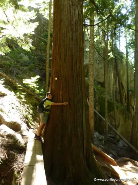
Hiking Info
Difficulty: Easy
Trailhead: Squamish
Squamish Chief Hike: The trail
The trail starts from the parking lot, and there is a possibility to camp there on the official camping place. In the parking lot, an overnight stay is forbidden. It was surprising to see prepared camping lots in the forest.
Besides the camping, many bear warning signs were the other new things for us. I have asked my colleagues, and they told me that during this hike, we should not be afraid at all of an encounter as it is a too popular trail, and the bears don’t like the company of hundreds of loud people. This time we didn’t take a bear spray (actually we haven’t bought it yet), but if we go more east or more remote places, we definitely will.
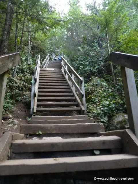
The trail is well marked and developed. Stairs go on the first part of the hike near the valley of Shannon Creek. Below the Chief peaks, few chains and ladders help to climb up, although you don’t necessarily need them – based on our European hiking experiences.
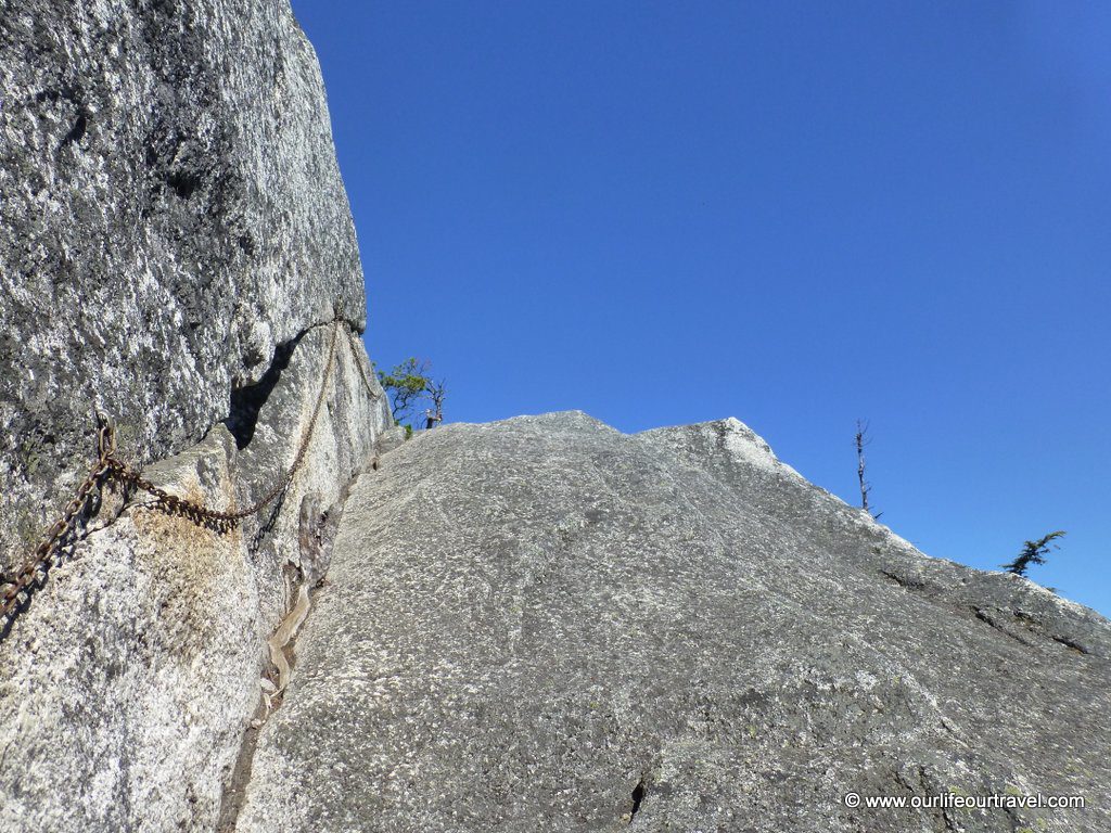
In general, Canadians considered the Chief hike a harder hike. It was a bit amusing after our multi-day trips and hikes in Tatra and other high mountains. Probably the climbers who were climbing the rock walls could share our opinion about the trail’s difficulty.
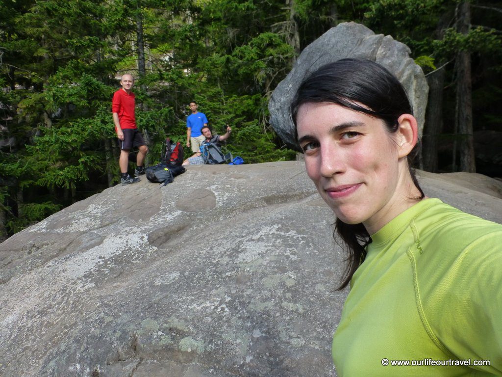
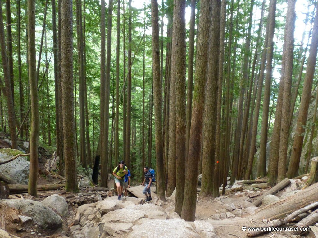
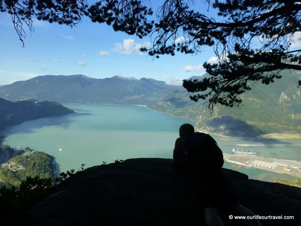
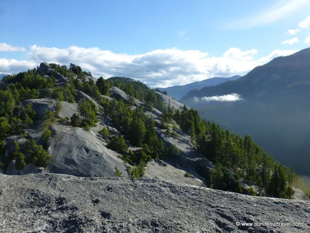
The full trail reaches all three peaks and is about 11 km, with 700 m of elevation gain. The suggested time is 6 hours, but we did it in 4.5 hours, with a lot of lazy resting on each peak. The route on the lower elevations is in the forest. It reaches the rocks around 550-650 meters, so only a bit under the peaks. That was the place for the best views as well.
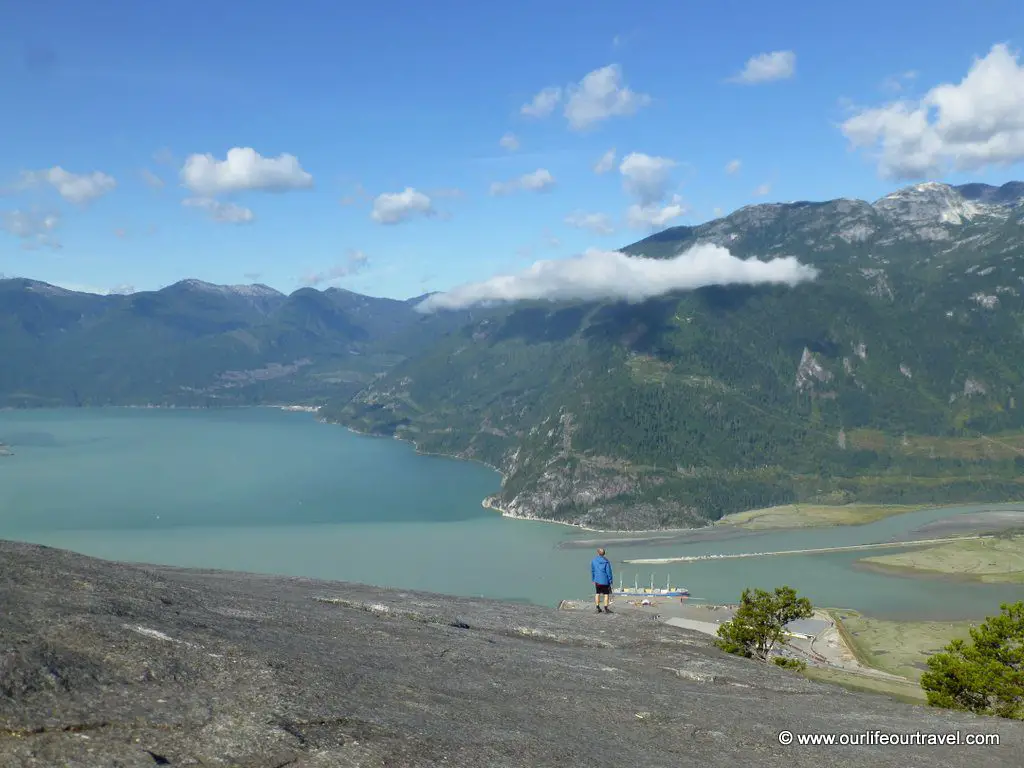
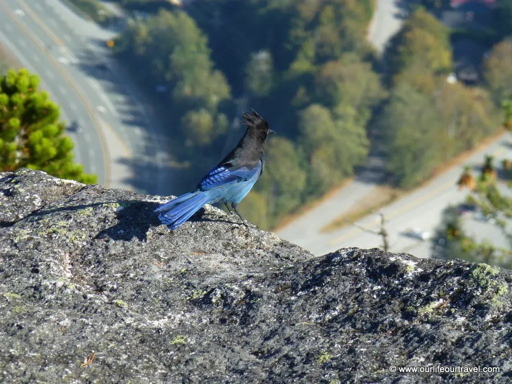
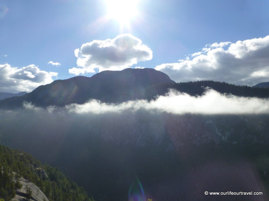
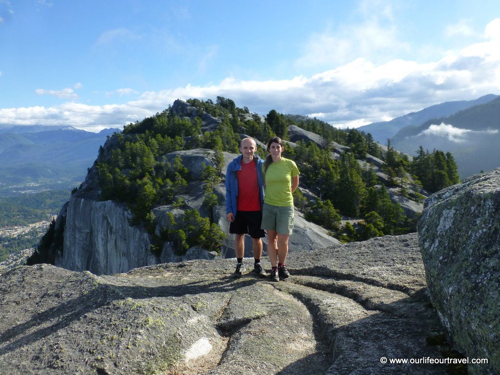
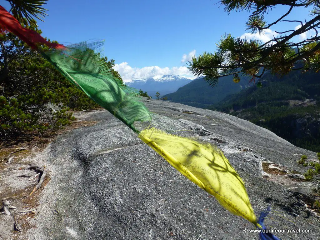
The sea (Howe Sound) and the snowy mountains were also visible. I liked the third peak the most as it had much fewer tourists on top while Karol preferred the others as they had steeper rocks and better views due to fewer trees around. These kinds of flat stones and a few vertical parts reminded us of a bit to Koli (Finland). Just instead of a lake, we had the sea around.
On the way back, we took the so-called undeveloped trail from the third peak, but it only meant that there were no stairs. And luckily fewer hikers. The first two peaks were full in the afternoon!
Check our other popular hikes from Vancouver!
Click on the pins to save them!

Pingback: Hiking between 2000 years old larch trees in the Cascade Mountains – Our life, our travel
This looks so stunning! James and I are looking to go to Vancouver for a working holiday in Canada in the next couple of years and this looks so awesome! Thanks for sharing!
Looks like such a beautiful hike! Love the picture of that First Peak – great view.